Study

Study

05

05

Desert

Desert

Dry wadi channels and flash flood paths

Dry wadi channels and flash flood paths

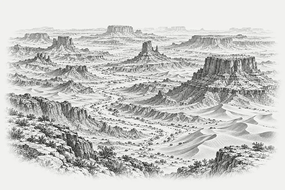
Channels that are dry for years, mapped for the one day they are not.

Channels that are dry for years, mapped for the one day they are not.

Dry wadi channels and flash flood paths

Plate

05

Desert

ink on paper. Illustration.

Region

Arid basin, sample site E

Year

2025

Duration

6 weeks

Channel reaches

58

Crossings checked

23

Rows moved

14

Sample site and example figures. Replace with real project data.

The question

A solar developer needed to keep arrays and access tracks out of the paths flash floods take.

Approach

Channel geometry was extracted from the terrain model, then checked on foot at crossings. Flow paths were classed by how likely water is to leave the main channel.

What we found

Several channels that looked minor on aerial images carried most of the flow in the model. Array rows were rearranged around them.

Limits

Without gauge records the flood return period is an assumption. The report says so on its first page.

Next step

Next step

Is the ground asking a similar question?

Is the ground asking a similar question?

Tell us what must be decided and what evidence you already have. We will help define a useful first pass.

Tell us what must be decided and what evidence you already have. We will help define a useful first pass.

HACHURE

Terrain intelligence, drawn to the contour.

© 2026 Hachure Terrain Systems, Inc.

Free terrain template by Creative Dima

HACHURE

Terrain intelligence, drawn to the contour.

© 2026 Hachure Terrain Systems, Inc.

Free terrain template by Creative Dima

HACHURE

Terrain intelligence, drawn to the contour.

© 2026 Hachure Terrain Systems, Inc.

Free terrain template by Creative Dima

Create a free website with Framer, the website builder loved by startups, designers and agencies.