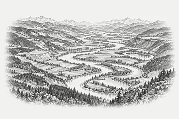
Terrain intelligence

Terrain intelligence

The ground, read closely.

The ground, read closely.

Hachure turns survey data into terrain models you can check line by line. Built for geotechnical, forestry and infrastructure teams who sign their work.

Hachure turns survey data into terrain models you can check line by line. Built for geotechnical, forestry and infrastructure teams who sign their work.

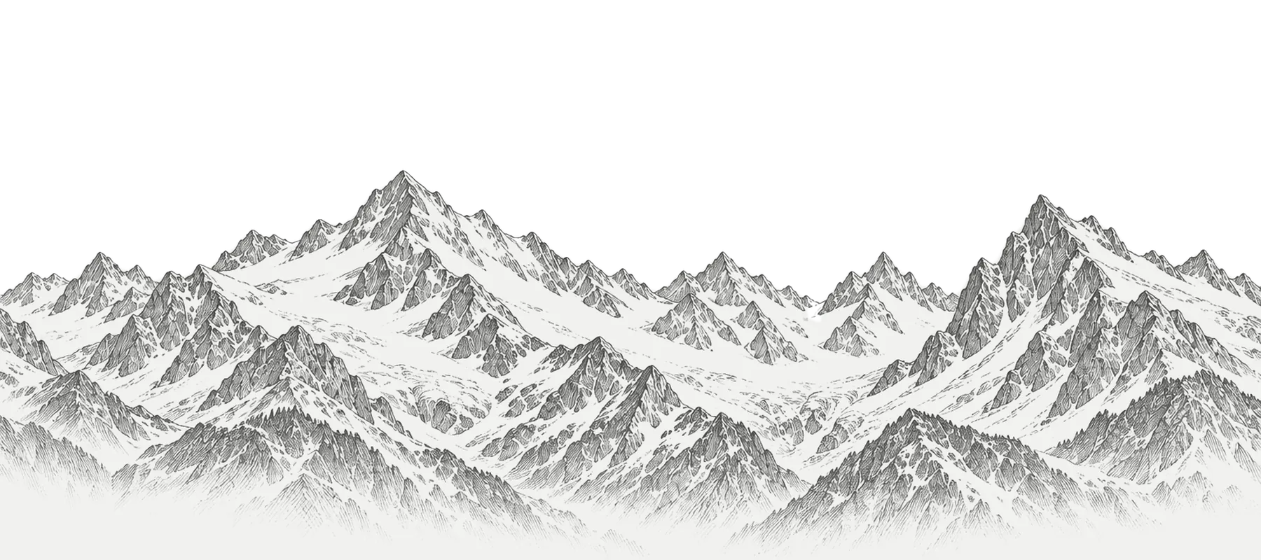
Plate 01. Alpine ridge, ink on paper. Illustration.

01 Position

01 Position

Most terrain tools show you a surface. We show you how it was drawn: every contour traced to a survey point, every class boundary open to inspection.

Most terrain tools show you a surface. We show you how it was drawn: every contour traced to a survey point, every class boundary open to inspection.

Every line has a source

Every line has a source

Contours, slope classes and boundaries link to the survey or sensor reading behind them.

Contours, slope classes and boundaries link to the survey or sensor reading behind them.

One model, any scale

One model, any scale

From a single cut slope to a whole catchment, without rebuilding the data underneath.

From a single cut slope to a whole catchment, without rebuilding the data underneath.

Written for review

Written for review

Outputs are laid out for engineers, auditors and permitting offices, not for wall screens.

Outputs are laid out for engineers, auditors and permitting offices, not for wall screens.

02 Platform

02 Platform

One terrain model, read in layers.

One terrain model, read in layers.

Atlas holds the model. Slope reads it, Traverse feeds it from the field, Ledger turns it into documents a regulator can follow.

Atlas holds the model. Slope reads it, Traverse feeds it from the field, Ledger turns it into documents a regulator can follow.

Atlas / Sample massif / Slope

Atlas / Slope

Sample data

Layers

Contours, 20 m

Slope classes

Drainage lines

Survey points

Traverse A

Revision r. 41
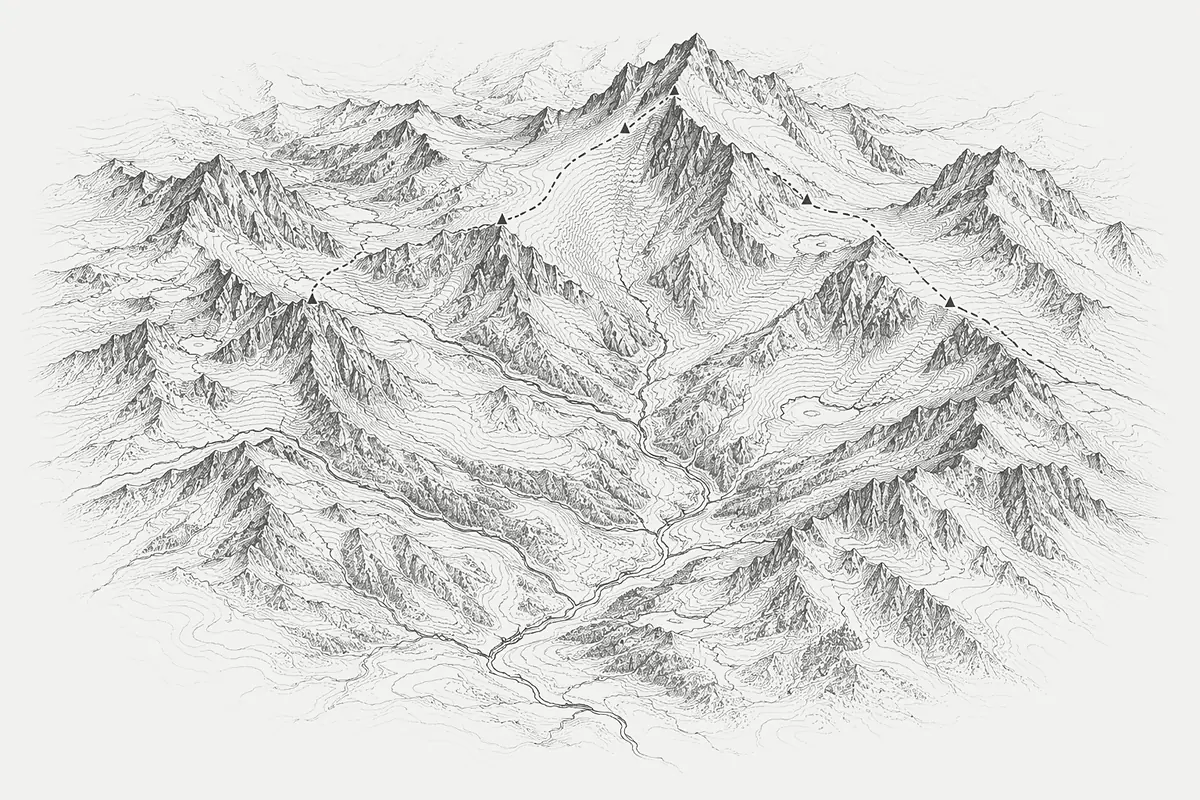
Engraved terrain map of a mountain massif with a traced route

Slope classes

Flat

0 to 5°

18%

Gentle

5 to 12°

24%

Moderate

12 to 20°

21%

Steep

20 to 30°

17%

Very steep

30 to 40°

11%

Extreme

40 to 55°

7%

Cliff

over 55°

2%

Profile A to A′

Illustration with sample values. Not survey data.

Terrain model

Atlas

Elevation, surface and survey points in one versioned model.

Terrain analysis

Slope

Slope, aspect and drainage classes with the rules shown.

Field capture

Traverse

Survey lines and readings, recorded offline and synced later.

Compliance

Ledger

Reports that cite the exact model revision they describe.
04 Method

04 Method

Slow on purpose.

Slow on purpose.

I

I

Survey

Survey

Ground control first. Lines, points and sensor series are logged with their error bounds.

Ground control first. Lines, points and sensor series are logged with their error bounds.

II

II

Model

Model

Surfaces are built from the survey and carry their revision, so any change is traceable.

Surfaces are built from the survey and carry their revision, so any change is traceable.

III

III

Verify

Verify

A second reader checks classes against the ground before anything leaves the building.

A second reader checks classes against the ground before anything leaves the building.

IV

IV

Report

Report

Findings are written with their limits, in a format the receiving office already uses.

Findings are written with their limits, in a format the receiving office already uses.

05 Reference data

05 Reference data

What a model carries.

What a model carries.

Illustrative figures for layout. Replace with real project values.

Illustrative figures for layout. Replace with real project values.

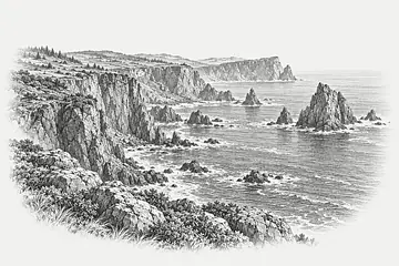
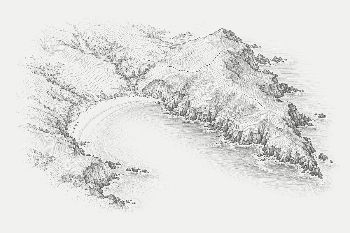
Engraved sketch of a coastline in ink on paper

Sheet 04. Contour sketch, sample.

Elevation grid

1 m

cell size

Resolution of the sample surface used on this page.

Slope classes

7

bands

From flat ground to cliff, each band with a written rule.

Survey points

12 480

sample

Control and check points behind a single model revision.

Revisions

r. 41

sample

Every report names the revision it was drawn from.

06 Evidence

06 Evidence

“We stopped arguing about which map was current. The model shows its sources, so the review is about slopes and not about files.”

“We stopped arguing about which map was current. The model shows its sources, so the review is about slopes and not about files.”

Head of Geotechnics

Head of Geotechnics

Kessel Ridgeworks

Kessel Ridgeworks

Kessel Ridgeworks

Almenra Hydro

Tolmin Survey Co.

Brannock Forestry

Sundvik Energi

Verhagen & Lund

Sample quotation and fictional clients. Replace with real references before publishing.

Sample quotation and fictional clients. Replace with real references before publishing.

08 Contact

08 Contact

Bring us a slope you have to defend.

Bring us a slope you have to defend.

A short call, one real site. We tell you what the model can and cannot show.

A short call, one real site. We tell you what the model can and cannot show.

HACHURE

Terrain intelligence, drawn to the contour.

© 2026 Hachure Terrain Systems, Inc.

Free terrain template by Creative Dima

HACHURE

Terrain intelligence, drawn to the contour.

© 2026 Hachure Terrain Systems, Inc.

Free terrain template by Creative Dima

HACHURE

Terrain intelligence, drawn to the contour.

© 2026 Hachure Terrain Systems, Inc.

Free terrain template by Creative Dima

Create a free website with Framer, the website builder loved by startups, designers and agencies.